
Our Services
Precision surveying and mapping solutions tailored for Papua New Guinea's diverse terrain.
LAND SURVEYING
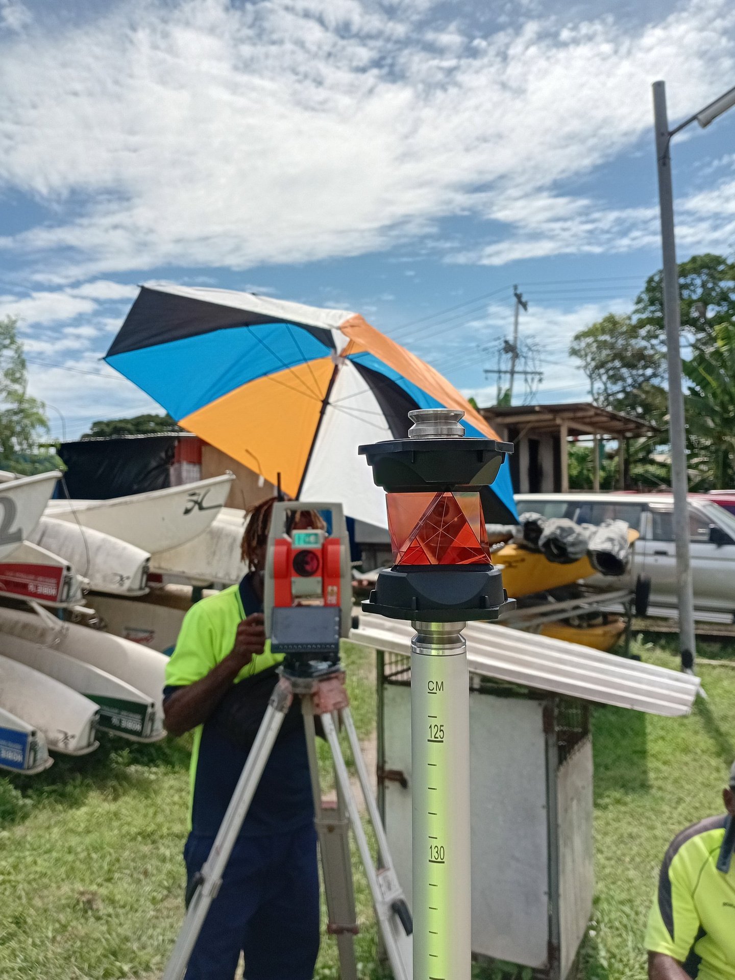
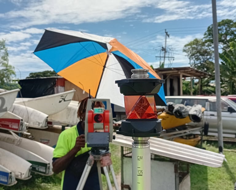
JM & Sons Limited provides a full range of professional land surveying services including boundary surveys, topographic surveys, construction layout surveys, and final as-built surveys for engineering and development projects.
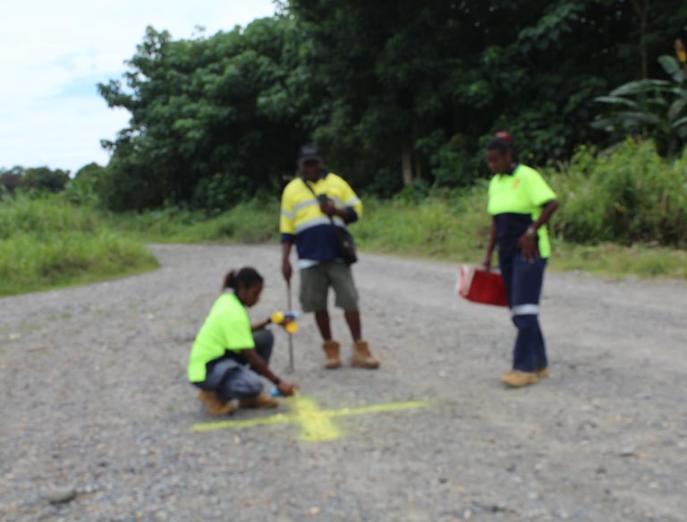


ENGINEERING & CONSTRUCTION SURVEYING
We provide accurate survey data for engineering design, infrastructure development, and construction projects. Our surveys support planning, layout, monitoring, and final project documentation.
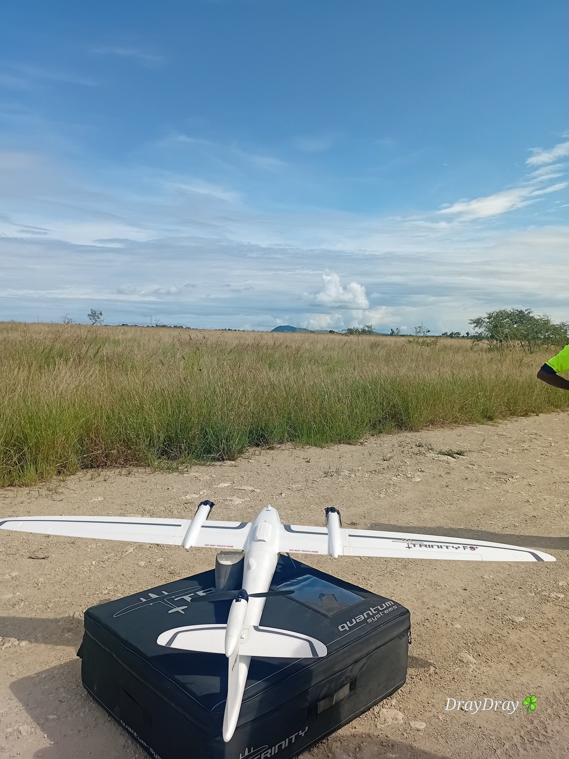
Using advanced drone technology, JM & Sons Limited conducts aerial surveys to produce high-resolution maps, orthomosaics, and 3D models for land development, construction, and environmental monitoring.
DRONE SURVEY & PHOTOGRAMMETRY
MOBILE LiDAR SCANNING
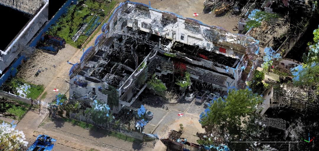
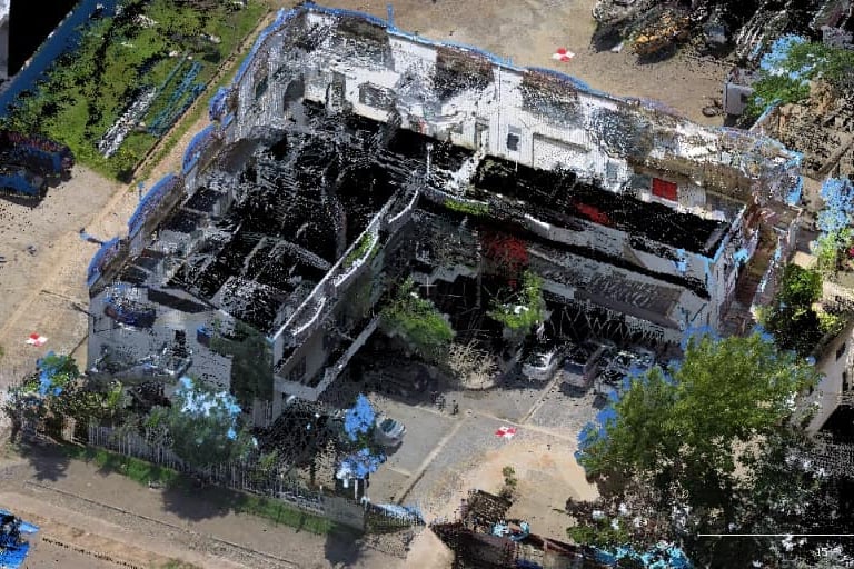
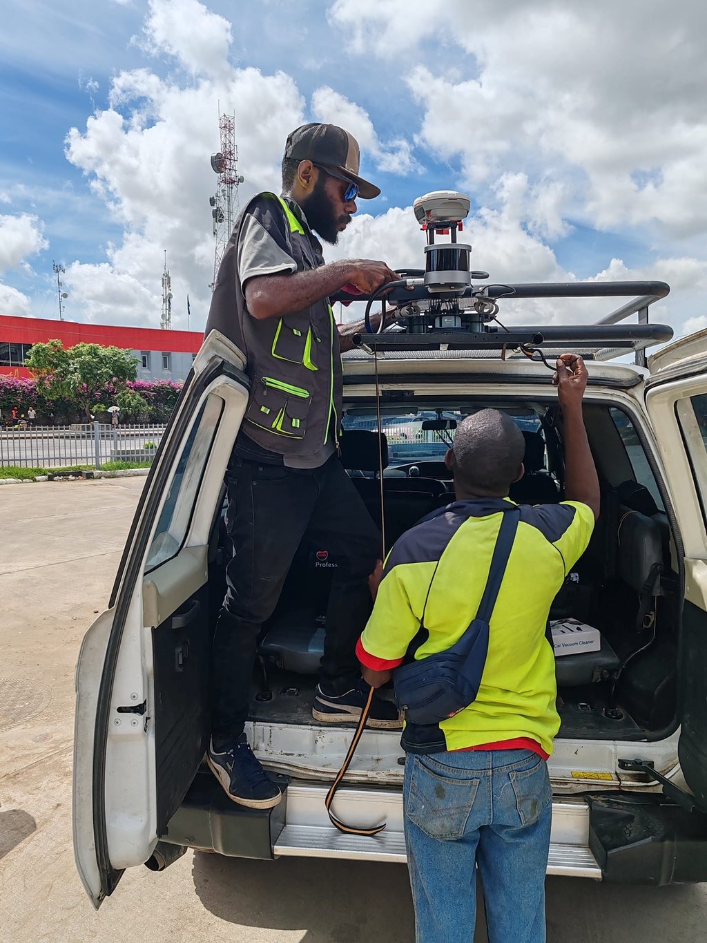
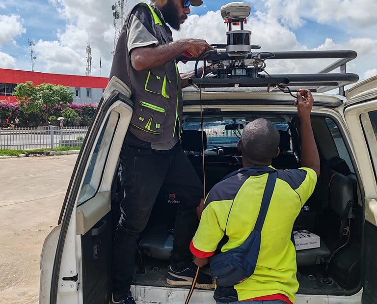
JM & Sons Limited is proud to operate Papua New Guinea’s only Mobile LiDAR scanning system, capable of capturing highly detailed 3D spatial data quickly and accurately.
GNSS / RTK GPS SURVEYING
Our survey teams utilize modern GNSS and RTK GPS systems to deliver high-precision positioning and mapping services for engineering, mining, and land development projects.
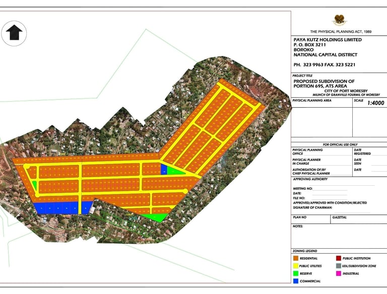
The company provides comprehensive GIS services including spatial data collection, satellite imagery analysis, mapping, and data visualization to support planning and decision-making.
GIS AND SPATIAL DATA SERVCES
Hours
Mon-Fri 8am-5pm
Address
CopyTek Ples Builidng,
Consolidated Kennedy Rd,
Gordons Industrial Area, Port Moresby
National Capital District, PNG
Our Location
Find JM & Sons Limited in the heart of Port Moresby, ready to support your surveying needs.