Precision Surveying, Trusted Results
Serving Papua New Guinea with expert land and geospatial services
10 YEARS OF SERVICE!!


About us
JM & Sons Limited is a Papua New Guinea–owned surveying and geospatial services company established in 2016 in Port Moresby. The company provides professional land surveying, drone mapping, mobile LiDAR scanning, and GIS solutions for government agencies, private companies, and individual clients across Papua New Guinea.
With a strong focus on precision, innovation, and reliable service, JM & Sons Limited continues to deliver modern surveying solutions using advanced equipment and proven industry methods.


JM & Sons Limited
Delivering precise surveying and geospatial services across Papua New Guinea’s key industries.
10 years of service and growing.....
Since 2016
Our Services
Precision surveying and mapping solutions tailored for Papua New Guinea's diverse landscapes.
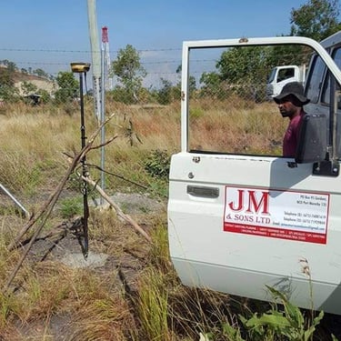
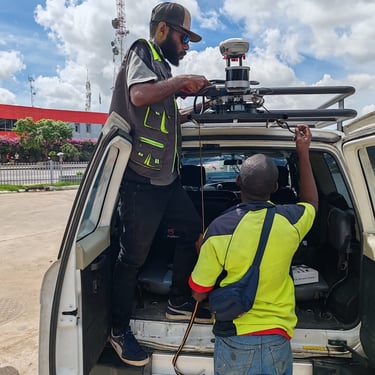
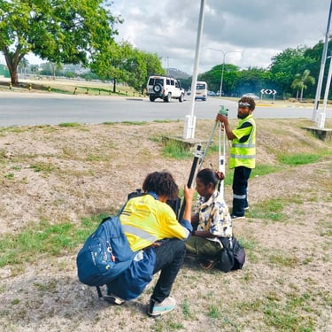
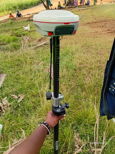
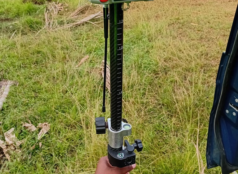
Land Surveying
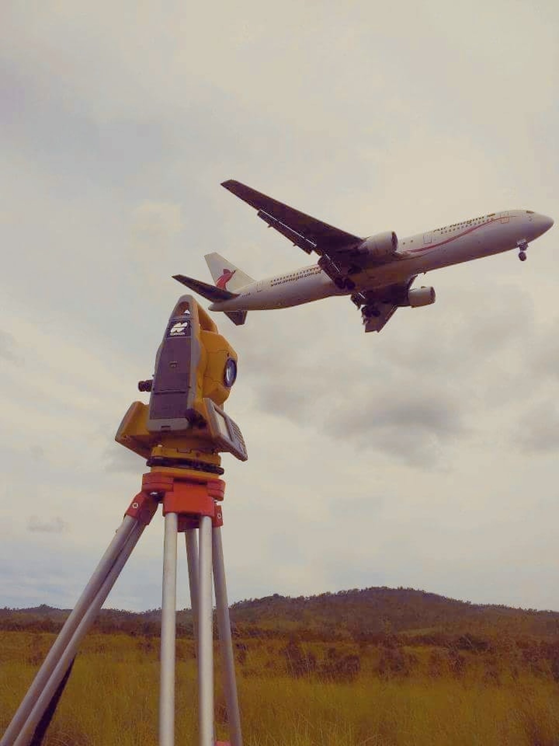
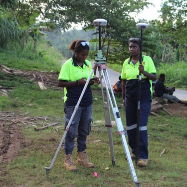
Accurate boundary and topographic surveys using the latest GNSS and total station equipment.
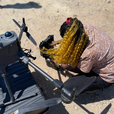
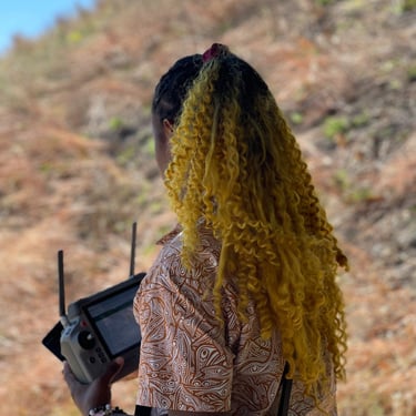
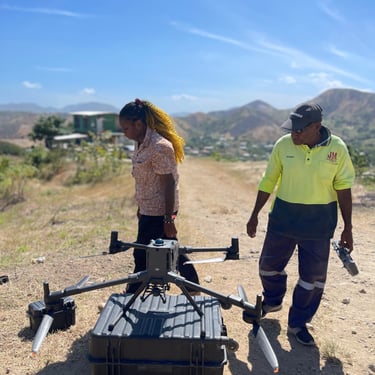
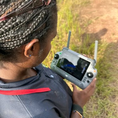
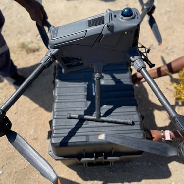
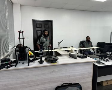
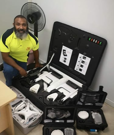
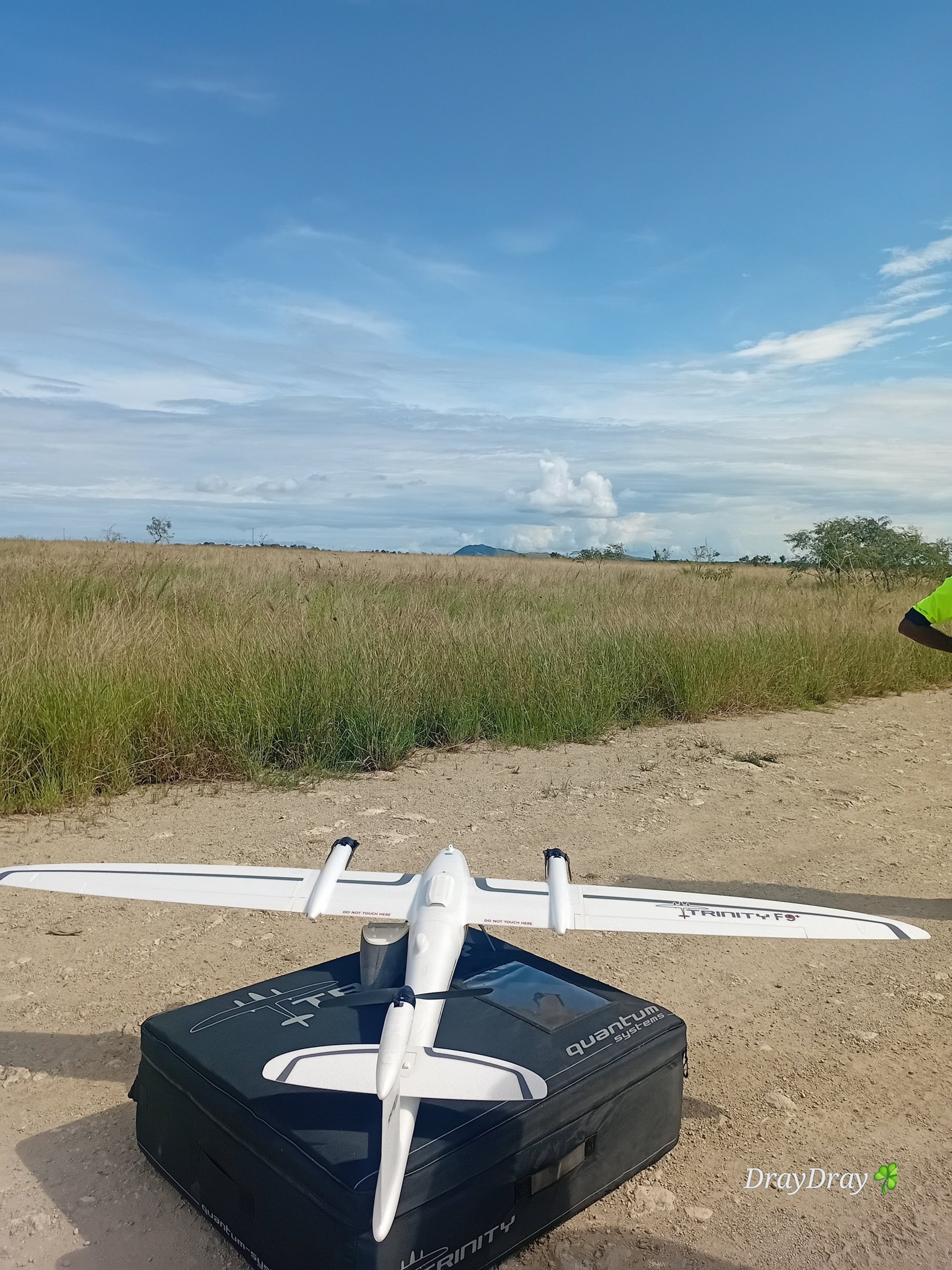
Drone Survey
High-resolution aerial mapping and photogrammetry capturing detailed site data efficiently.
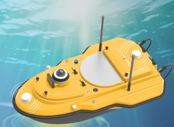

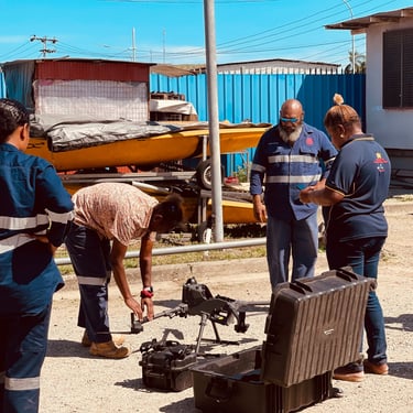
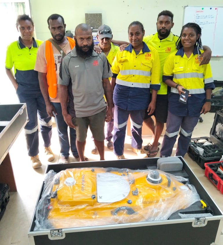
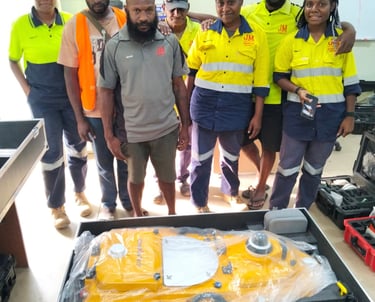
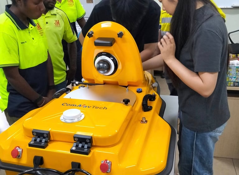
Hydrographic surveying services to map and analyze underwater environments for coastal development, marine infrastructure, and environmental assessments.
Hydrographic/ Bathymetric Survey


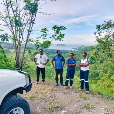
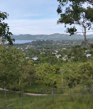
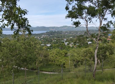
Port Moresby
Surveying the urban landscape with precision and care.
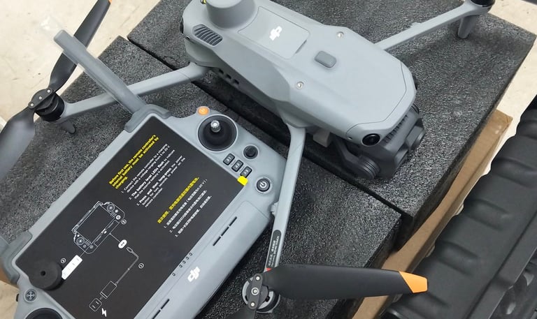
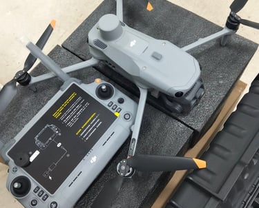
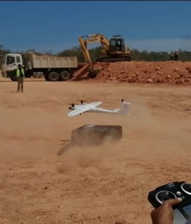
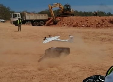
Drone Mapping
Capturing detailed aerial images with our advanced drones to create accurate maps for construction and mining projects across Papua New Guinea.
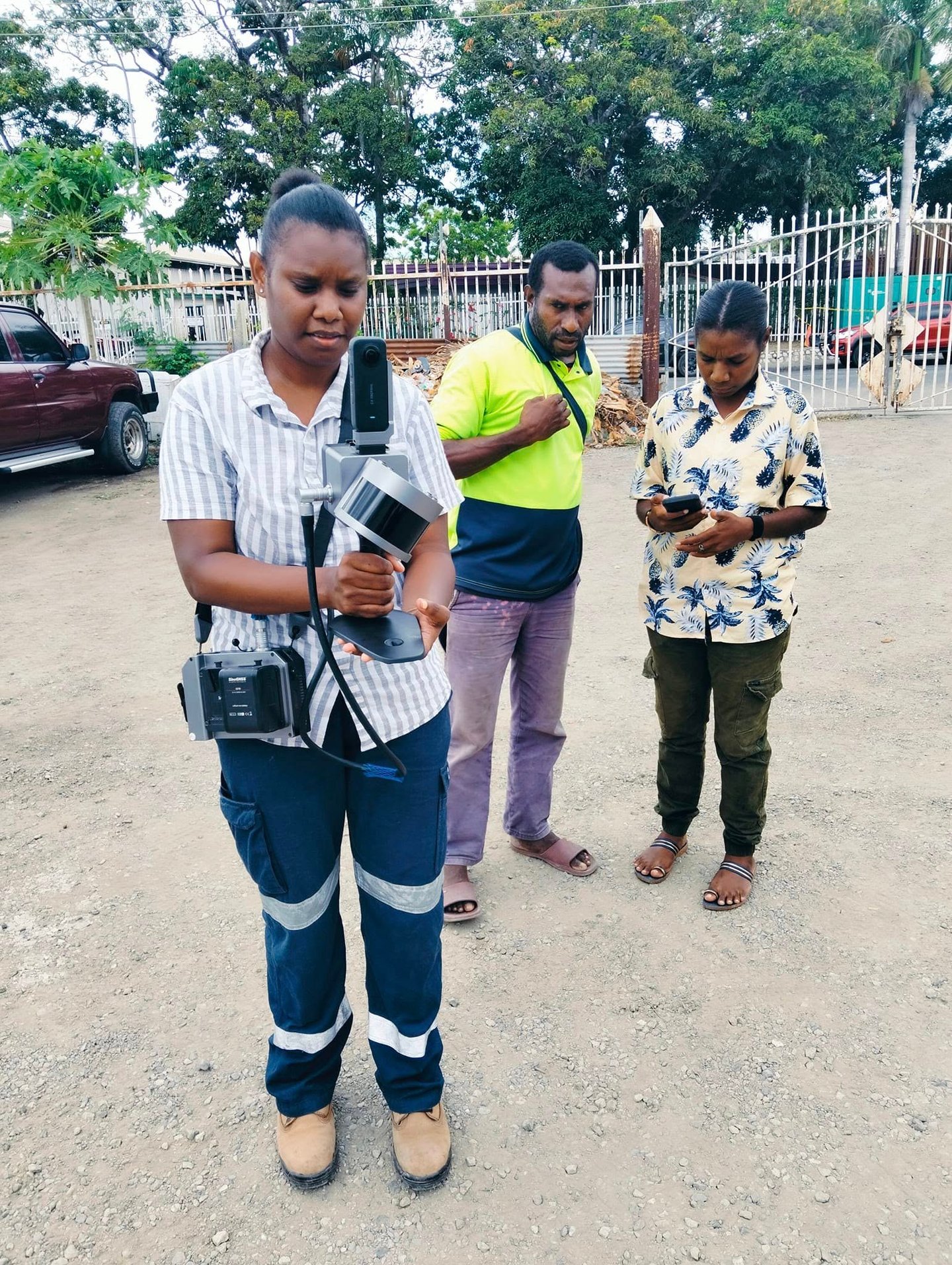
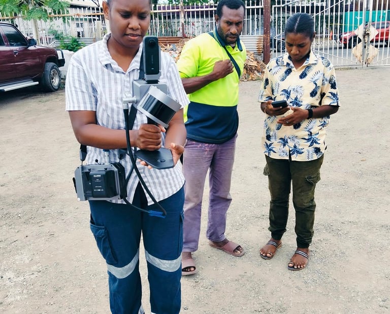
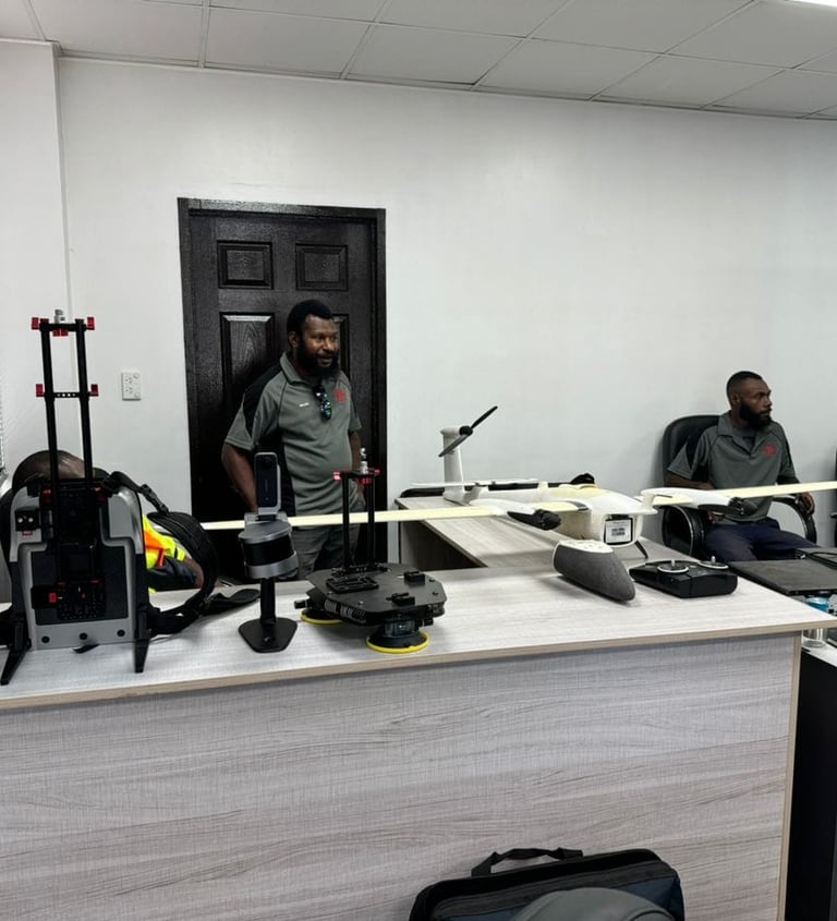
Lidar Scanning
Using mobile lidar scanners to gather precise 3D data for engineering and infrastructure development in challenging terrains.
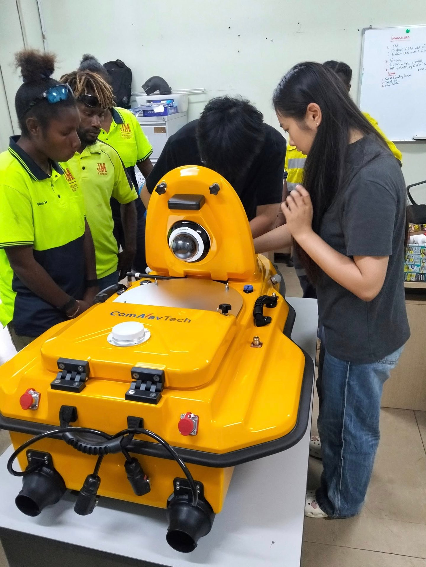
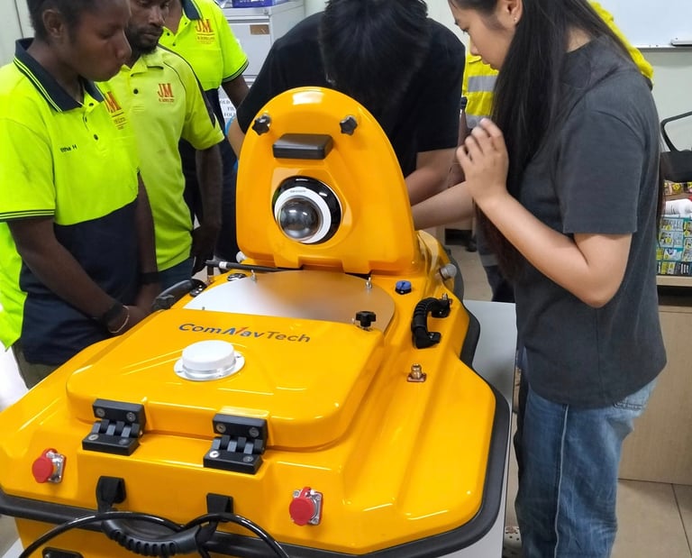
Hydrographic Surveying
Using unmanned surface vehicles (USVs) to safely collect high-precision hydrographic and bathymetric data for marine, river, and coastal surveying projects.
Contact Us
Reach out to JM&Sons Ltd for expert surveying and geospatial solutions in Papua New Guinea.
Our Location.
Unit 6, Ground Floor, Copytek Building,
Gordon Industrial Area, Kennedy Rd
Port Moresby
Hours
Mon-Fri 8am-5pm
Address
CopyTek Ples Builidng,
Consolidated Kennedy Rd,
Gordons Industrial Area, Port Moresby
National Capital District, PNG
Our Location
Find JM & Sons Limited in the heart of Port Moresby, ready to support your surveying needs.